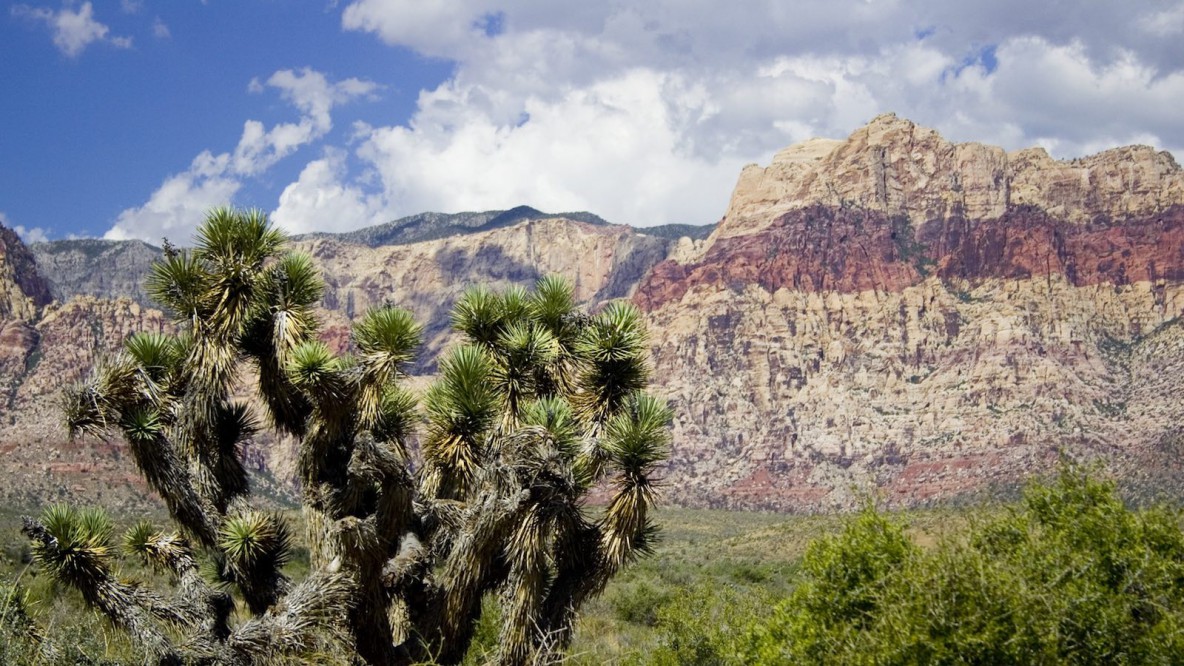
This unique project will relieve congestion at the Red Rock Scenic Loop, as well as improve vehicle, bicycle, and pedestrian safety. What makes this project unique is it includes a new three mile alignment through virgin desert! The Barajas Group was responsible for mapping over 17 miles of roadway! This includes all parking areas, visitor center, fee station, dirt roads, and SR 159 (Charleston Blvd) at the tie-ins. We were also responsible for establishing control utilizing GPS, OPUS solutions, and precise digital differential leveling.
Red Rock Design Topo

